|
|
Post by Len Philpot on Aug 31, 2019 9:24:17 GMT -6
I created a 360 degree panoramic image of the White Horse observing field. It can be downloaded here: drive.google.com/file/d/1XWMGtJ6JHOMm7gVscd1lfSXEaqEqW8Bp/view?usp=sharingThis file can be imported into SkySafari using the instructions here support.simulationcurriculum.com/hc/en-us/articles/115015942808-Horizon-Sky-HelpScroll down to the sections titled "Importing your Horizons with..." for the procedures for iOS and Android (which are not the same). It's possible the same image can be used in other software, assuming the format is compatible, but I've not tested it. The image is not "mathematically precise" but it provides a nice reasonably correct approximation of how the sky looks from WHCRC. 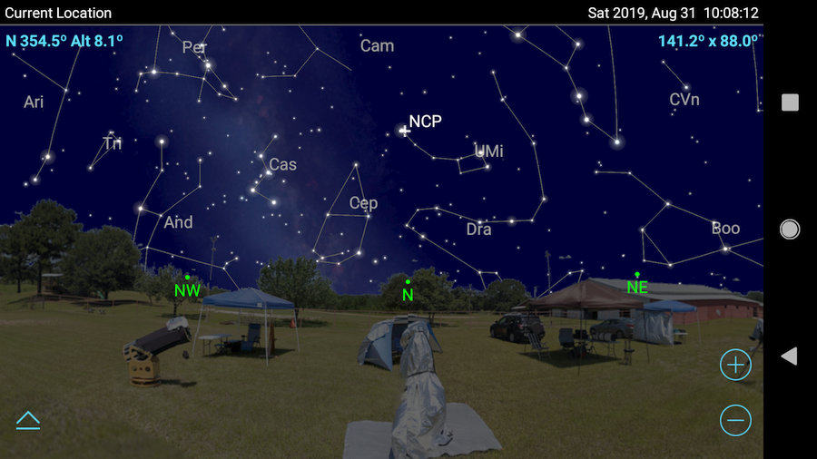 Update - I just tried the same image in Cartes du Ciel and it works. It's a bit pixelated since SkySafari requires a fairly low resolution image, but it works. CdC doesn't darken the image like SS does, either: 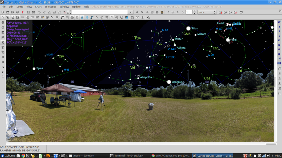 |
|
|
|
Post by Len Philpot on Sept 1, 2019 15:11:14 GMT -6
Update - Eagle-eyed Steve E. noticed that the panorama was offset by 270 (or -90) degrees when loaded into Cartes du Ciel. That has to do with the "zero point" (i.e., azimuth reference) of the image. SkySafari requires north to be at the left edge of the image, while CdC will can adjust, so if you use this image in CdC, enter either -90 or 270 for the offset value. Steve also noticed a couple of UFOs hovering the sky above WHCRC. I've since shot them down with the eraser tool in GIMP.  I've replaced the image on Google Drive so you'll get the new one if you follow the link above. |
|
|
|
Post by Len Philpot on Oct 12, 2019 15:34:03 GMT -6
|
|


 I've replaced the image on Google Drive so you'll get the new one if you follow the link above.